Utility Locating · GPR · Concrete Scanning

Know what's
below before
you break ground.

We understand that locating is not just about putting paint on the ground. It is about helping crews avoid damage, reduce downtime, work safely, and make informed decisions before excavation, drilling, coring, or cutting begins.

01 - The Difference

What We Do

The Locating Company was built around field experience, accuracy, communication, and practical jobsite problem-solving.

We understand that locating is not just about putting paint on the ground. It is about helping crews avoid damage, reduce downtime, work safely, and make informed decisions before excavation, drilling, coring, or cutting begins.

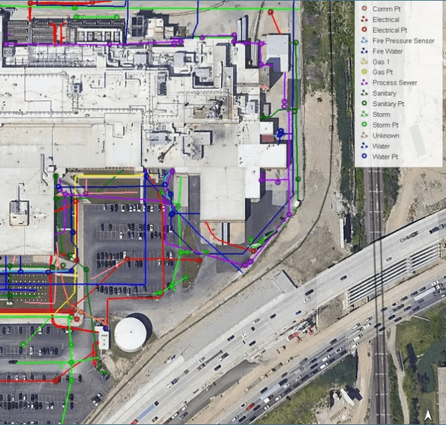
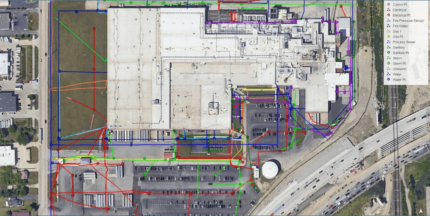
GPS/GNSS utility map

Experienced Field Technicians

Our team has experience across commercial construction, industrial facilities, refineries, power plants, residential sites, municipal projects, environmental investigations, and complex utility environments.

We combine equipment knowledge with real field judgment to provide practical information that helps clients move forward with confidence.

Clear Communication

We explain what we found, what we could not verify, and what conditions may affect the results. When needed, we can provide field markings, sketches, photos, GPS/GNSS points, CAD-ready information, or job-specific deliverables.

02 - Services

We Do It All

GPR Scanning

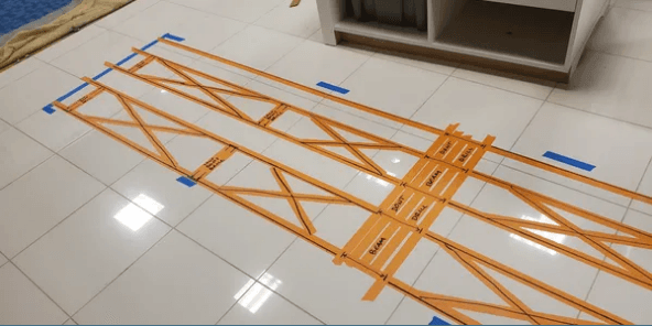
Ground penetrating radar is used to investigate subsurface conditions without destructive digging or cutting. GPR can assist with locating buried utilities, underground structures, voids, unknown features, and changes below concrete, asphalt, soil, or other surfaces
UST & Environmental Support

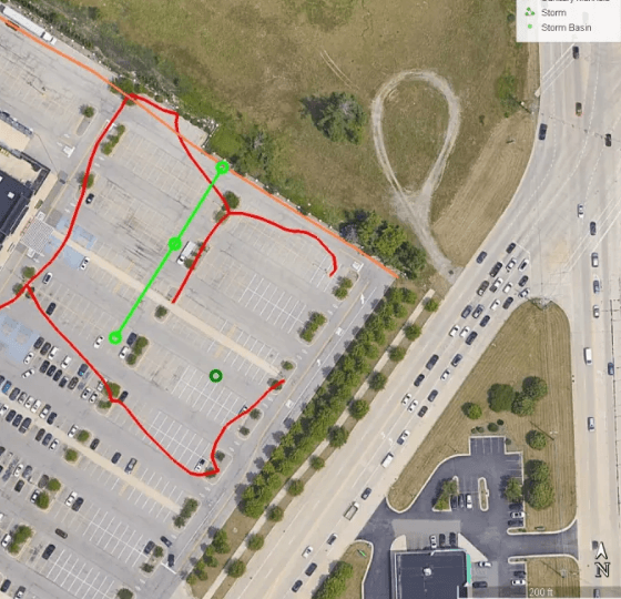
We provide GPR and locating support for environmental consultants, property owners, and contractors investigating possible underground storage tanks, buried features, utilities, and other subsurface concerns.

Void Detection

We use GPR to help identify potential voids beneath concrete, pavement, slabs, and soil areas. This is useful for industrial sites, parking lots, roadways, sidewalks, building slabs, and areas where washout or settlement may be a concern.

CAD and GPS/GNSS Mapping

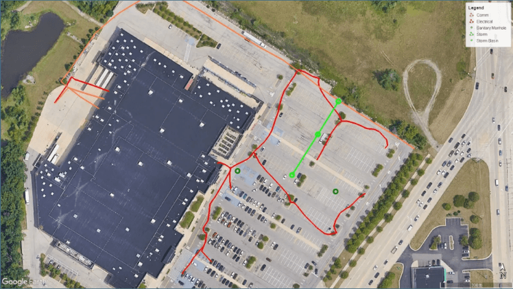
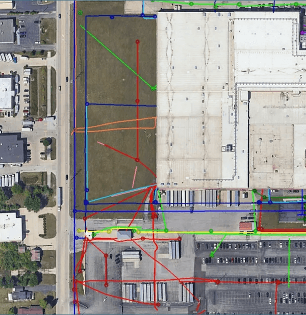
We provide high-accuracy RTK GPS/GNSS mapping and CAD-ready deliverables to document field findings. These deliverable can help support excavation planning, site records, engineering review, and future project reference.

03 - Past Projects

Past Project Experience

04 - Meet the Leadership

About The Locating Company, LLC

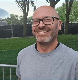
Bo McGee

Bo McGee

President · 419.486.9124

Bo has worked in the locating and GPR industry since 2011, building field experience across Ohio, Michigan, Indiana, and Illinois. Before founding The Locating Company in 2022, Bo spent years focused on field operations, project execution, troubleshooting, and new-hire training. Bo is experienced in ground penetrating radar, electromagnetic locating, private utility locating, concrete scanning, and complex industrial environments including refineries, chemical factories, and power plants.

Thaddeus Bullock

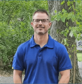
Thaddeus Bullock

Vice President · 567.213.1859

Thaddeus Bullock brings more than a decade of GPR and filed locating experience. His work includes utility locating, concrete scanning, GPR investigations, electromagnetic locating, and high-accuracy GPS/GNSS mapping. Thaddeus is known for efficiency, attention to detail, and providing reliable field information that helps clients make safer and better-informed project decisions. Everyone loves Thaddeus, especially us.

Let us locate for you!

Drop us a line!

Send us a message, or call us for a quote. Use our contact form to tell us more about what you might need located, and we will provide you subsurface solutions for your construction projects.

For best results, contact us directly:
bo@thelocatingcompany.com419.486.9124

This site is protected by reCAPTCHA and the Google Privacy Policy and Terms of Service apply.